North American Breeding Bird Survey, Animated Maps 1966-2015 - Passerines
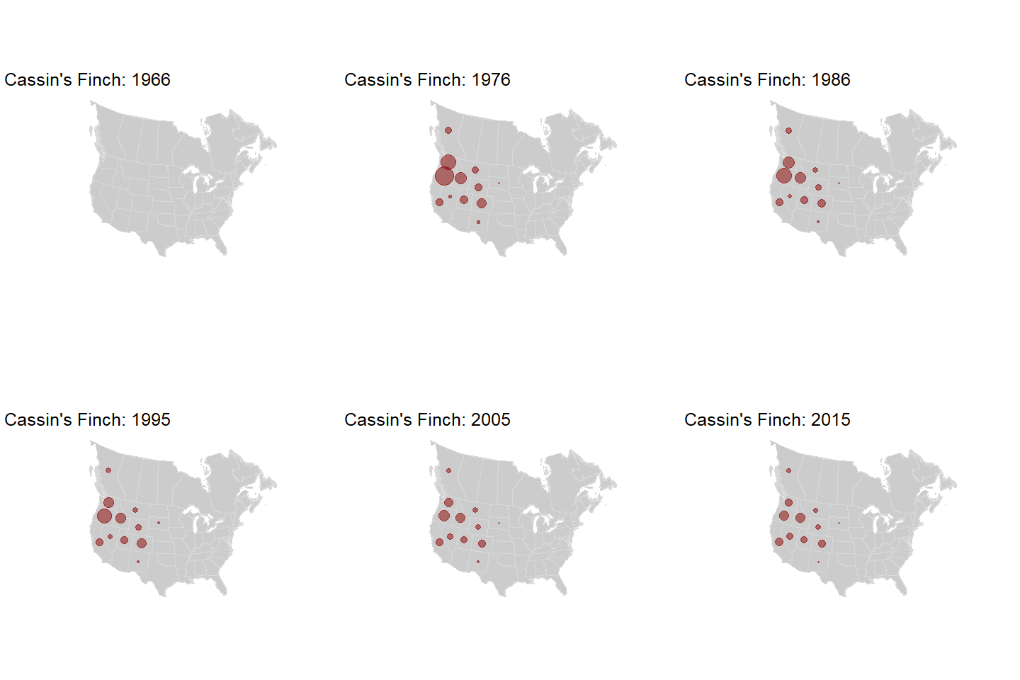
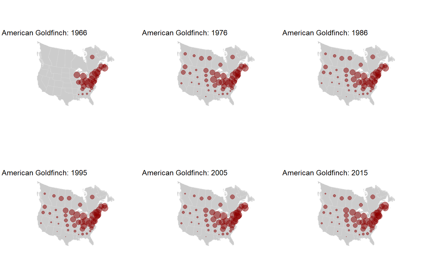
[NOTE: PASSERINES IS STILL UNDER CONSTRUCTION] The North American Breeding Bird Survey is our longest-running source of breeding abundance and distribution data for North America’s birds. The maps on this page and here (non-passerines) are based on state-level populations indices for 399 species published by United States Geological Survey (and collected by many many citizen scientists). Code I used to create the maps can be downloaded here: https://github.com/mikeallen-eco/BBSdataviz/tree/master/scripts.
Rest of the passerines coming soon…
This plot shows BBS population indices for Grasshopper Sparrow over time in each state, roughly plotted where the state is on a map! It relies on the geofacet and ggplot2 packages in R.
The same plot for Wood Thrush.


